Mapbox-provided tilesets
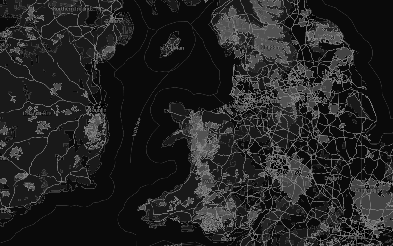
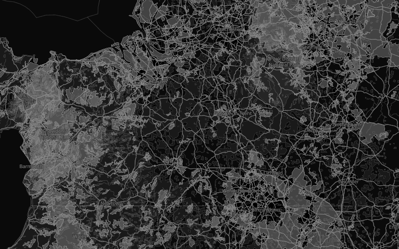
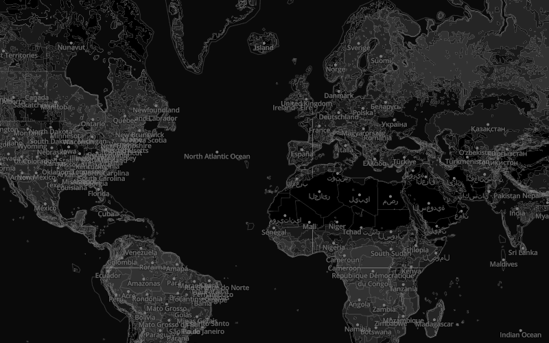
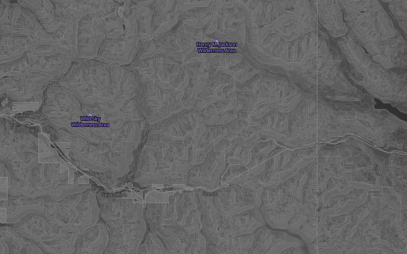
Mapbox web and mobile-ready vector tiles are 75% smaller than a raster tilesets. This results in fast, smooth zooming from the worldview of a map down to street-level detail. Mapbox vector tilesets include: mapbox-streets, mapbox-terrain, and mapbox-traffic which are outlined in the next section.
Vector tileset data consists of geographically referenced natural and manmade features converted into points,lines, andpolygons. This is the underlying framework of the map and provides the information that will be styled. Map data features typical fall into the following general categories.
Natural features
- water
- land
- land use
- terrain
Road networks
- motorway
- trunk
- primary, etc.
Place labels
- country
- state
- city
- island, etc.
General labels
- marine
- water
- roads, etc.

Points of interest (POI) labels
- natural reserves
- businesses
- restaurants
- attractions, etc.
Transit labels
- airport labels,
- rail labels,
- highway shields, etc.
![]()