Mapbox Satellite and Mapbox Satellite Streets
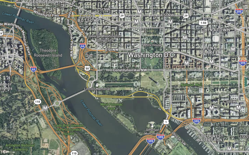
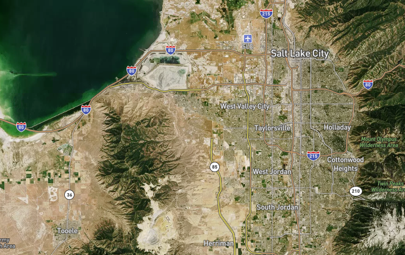
Mapbox Satellite is our global high-resolution satellite imagery. Mapbox Satellite Streets combines the Mapbox Satellite basemap with vector data from Mapbox Streets to bring contextual information. Mapbox Satellite Streets is designed to enhance our vibrant Satellite imagery with a light layer of Mapbox Streets data. Our designers have created clear and legible road hierarchies with a comprehensive set of road, place, and feature labels that balance legibility and usability.
Mapbox Satellite Streets uses same vector tile source as our general-purpose maps and contains the full range of geographic information required to provide context for overlays.

Imagery
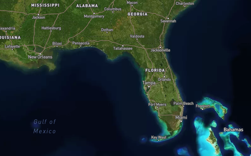
Mapbox Satellite imagery comes from a variety of commercial providers, as well as open data from NASA, USGS, and others. It is s color-corrected, cloud-free raster tileset. As cities and landscapes change, we add newer, clearer, and more attractive imagery.
Global coverage
Cloudless for zoom levels 0–8 and available from z0-19 Mapbox Satellite imagery comes from a variety of sources depending on zoom level and geographic availability.
- Zoom levels 0-6. Uses cloud-free data from NASA MODIS satellites.
- Zoom levels 7-12. Uses the NASA/USGS Landsat 5 & 7 imagery.
- Zoom levels 13+. Use a combination of open and proprietary sources, including Digital Globe for much of the world, USDA’s NAIP 2011–2013 in the contiguous United States, and open aerial imagery from Denmark, Finland, and parts of Germany.
If you notice an area where imagery needs improvement or updates for any reason, let us know by leaving your feedback with our imagery request tool. This tool adds your requests to a master list that we consult when prioritizing updates. If you wish to recommend an imagery source, please mention it in your request. Please note that imagery is not improved on a set schedule and is updated when and where it becomes available.

Additional design features
Roadways. Highly organized road data, designed to present a clearly legible hierarchy of all road types across a wide zoom range.
Administrative boundaries. A global political and administrative boundary layer.
Built features. Building footprints, rail stations, urban parks, land use, famous landmarks, and neighborhood stores.
Natural features. Rivers, lakes, streams, oceans, coastal boundaries, parks, land cover, and beaches.
Places. A complete hierarchy of location labels, from countries and states down to villages and neighborhoods.
Unique iconography. Select countries and cities feature custom highway shields and public transit icons.