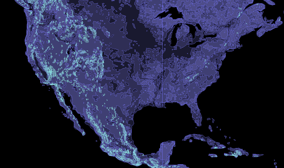
Mapbox Terrain
mapbox.mapbox-terrain-v2
Mapbox Terrain provides hillshades, elevation contours, and land cover data all in vector form. Mapbox Terrain is based on data from a variety of sources (see the about page for details). When using the Mapbox Terrain layer publicly in a design or application you must provide proper attribution. While styling, keep the Mapbox Terrain data overview open to ensure you are assigning the appropriate classifications to your map style. These values are also automatically shown to populate as filters directly in Studio, but the reference offers more details to their definition.
