Mapbox Outdoors
Mapbox Outdoors is a general-purpose map with curated tilesets and specialized styling tailored to hiking, biking, and the most adventurous use cases.To meet the needs of the bikers, hikers, runners, and skiers that rely on Mapbox Outdoors, our cartographers mined OpenStreetMap for its extensive trail, path, and piste information, and developed styling that clearly articulates each type for maximum legibility.

Curated terrain data
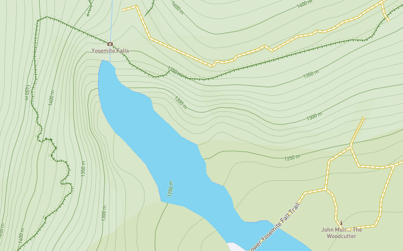
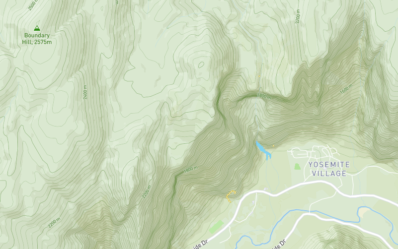
Mapbox Terrain's global elevation and hillshade data lie at the heart of Mapbox Outdoors. We processed sources from 24 datasets across 13 organizations, including the U.S. Geological Survey, Norwegian Mapping Authority, and Canadian GeoBase, combining the natural features into a robust tileset with necessary path and trail data for an outdoors map.
Relevant points of interest
Mapbox Outdoors contains an array of points of interest (POI) data relevant to active use cases: you can find campsites, public restrooms, and even water fountains in these specialized layers.

Additional design features
Roadways. Highly organized road data, designed to present a legible hierarchy of all road types across a wide zoom range.
Administrative boundaries. A global political and administrative boundary layer.
Paths and trails. Hiking paths, footways, cycleways, and ski trails.
Built features. Building footprints, rail stations, urban parks, land use, famous landmarks, and neighborhood stores.
Natural features. Rivers, lakes, streams, oceans, coastal boundaries, parks, land cover, and beaches.
Places. A complete hierarchy of location labels, from countries and states down to villages and neighborhoods.
Terrain. Vivid hillshading delivers visually tactile topography for outdoor and active lifestyle apps.
Unique iconography. Select countries and cities feature custom highway shields and public transit icons.