Both Basic and Bright are open source map styles that are primarily for learning about Mapbox map styles.
Basic
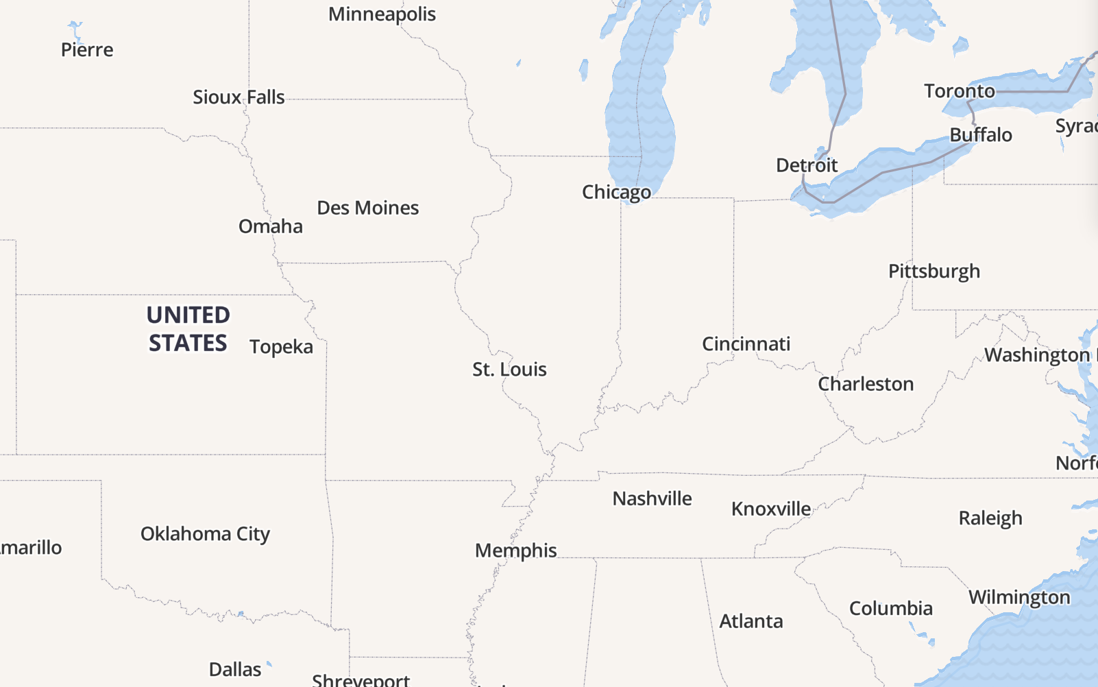
Mapbox Basic is a simple, flexible starting map style if you just need a simple style. The classifications for roads and place labels have been generalized into major or minor categories covering the following types of features:
Roadways. Lightly organized road data, designed to show very basic major and minor road hierarchy.
Administrative boundaries. Only country boundaries are styled.
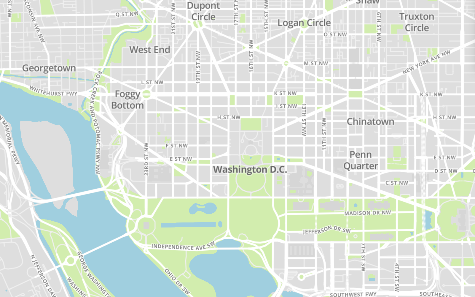
Built features. Building footprints, rail stations, urban parks, land use, and only highly ranked points of interest are styled with only text.
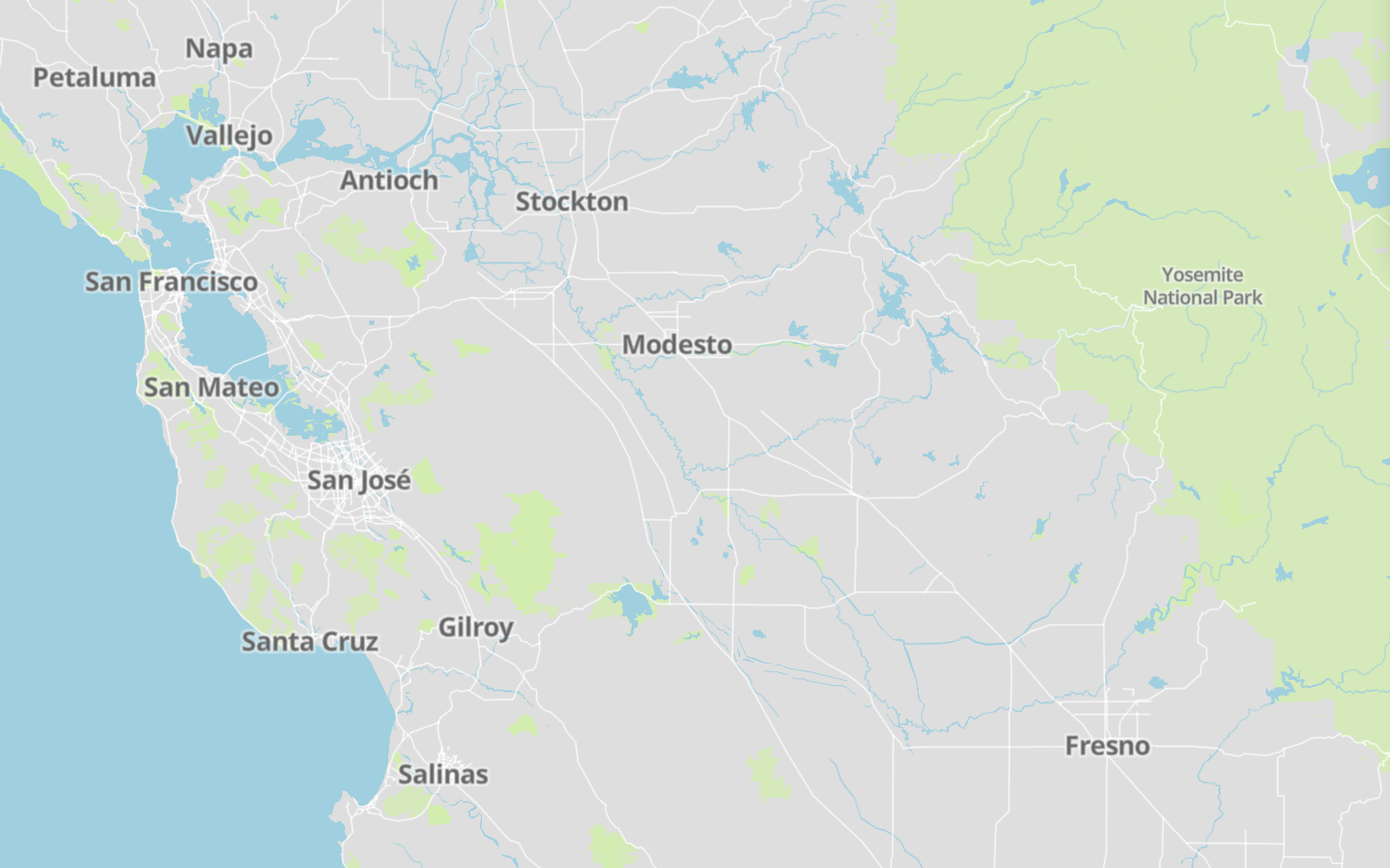
Natural features. Rivers, lakes, streams, oceans, coastal boundaries, parks, land cover, and beaches.
Places. General hierarchy of location labels including countries, islands, cities, and suburbs, towns, hamlets, villages, and neighborhoods.

Bright
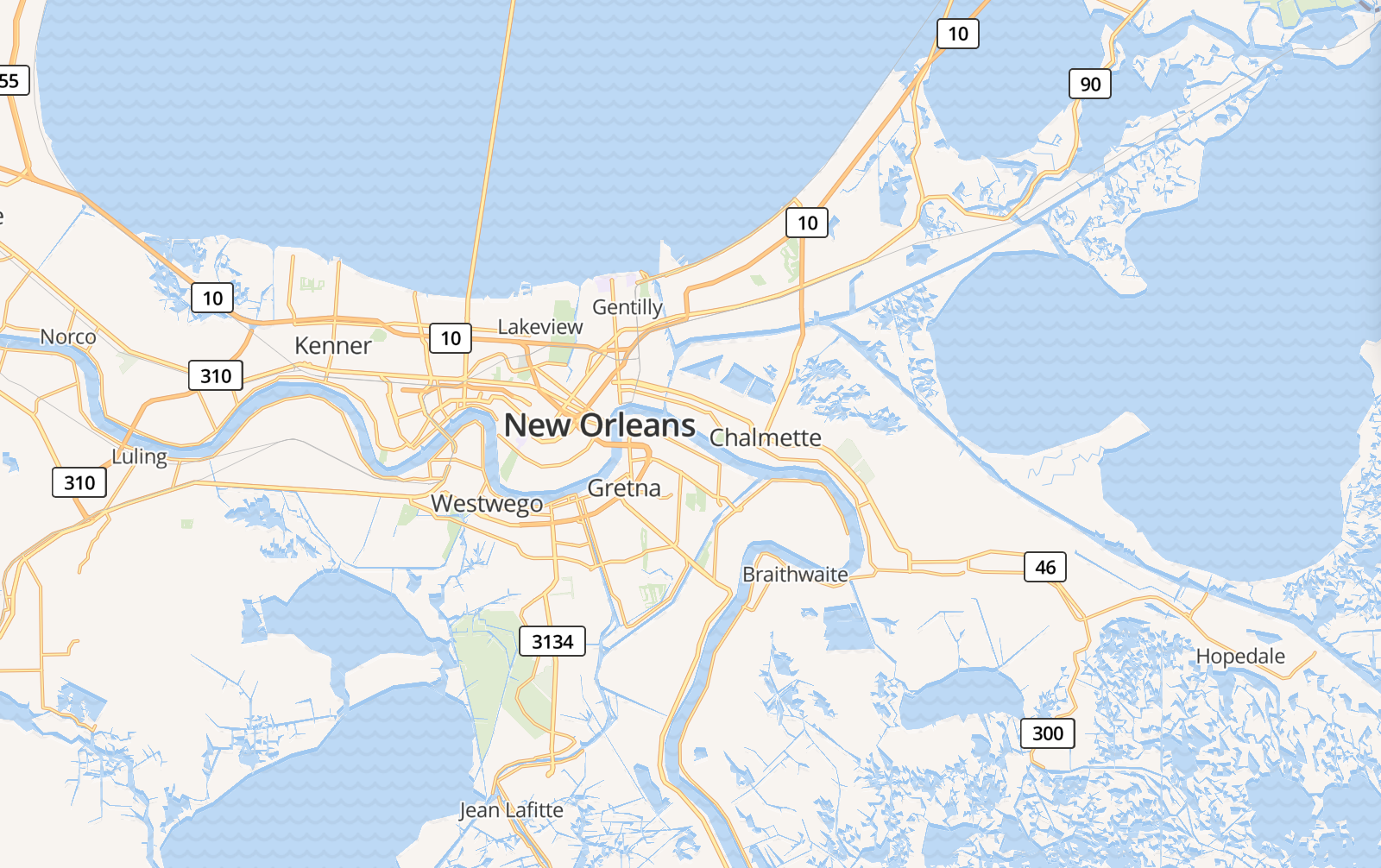
Mapbox Bright is another good template to learn how data layers are categorized and generally styled. This style includes more classifications of label and road types and puts data layers into relevant categories covering the following types of features:
Roadways. Organized road data, designed to show the different classifications of road types available with Mapbox Streets.
Administrative boundaries. A global political and administrative boundary layer.
Built features.Building footprints, rail stations, urban parks, land use, famous landmarks, and neighborhood stores.
Natural features. Rivers, lakes, streams, oceans, coastal boundaries, parks, land cover, and beaches.
Places. A general hierarchy of location labels, from countries to cities, towns, and villages and neighborhoods.
Iconography. This style includes general motorway highway shields and uses a texture for the water layer.